
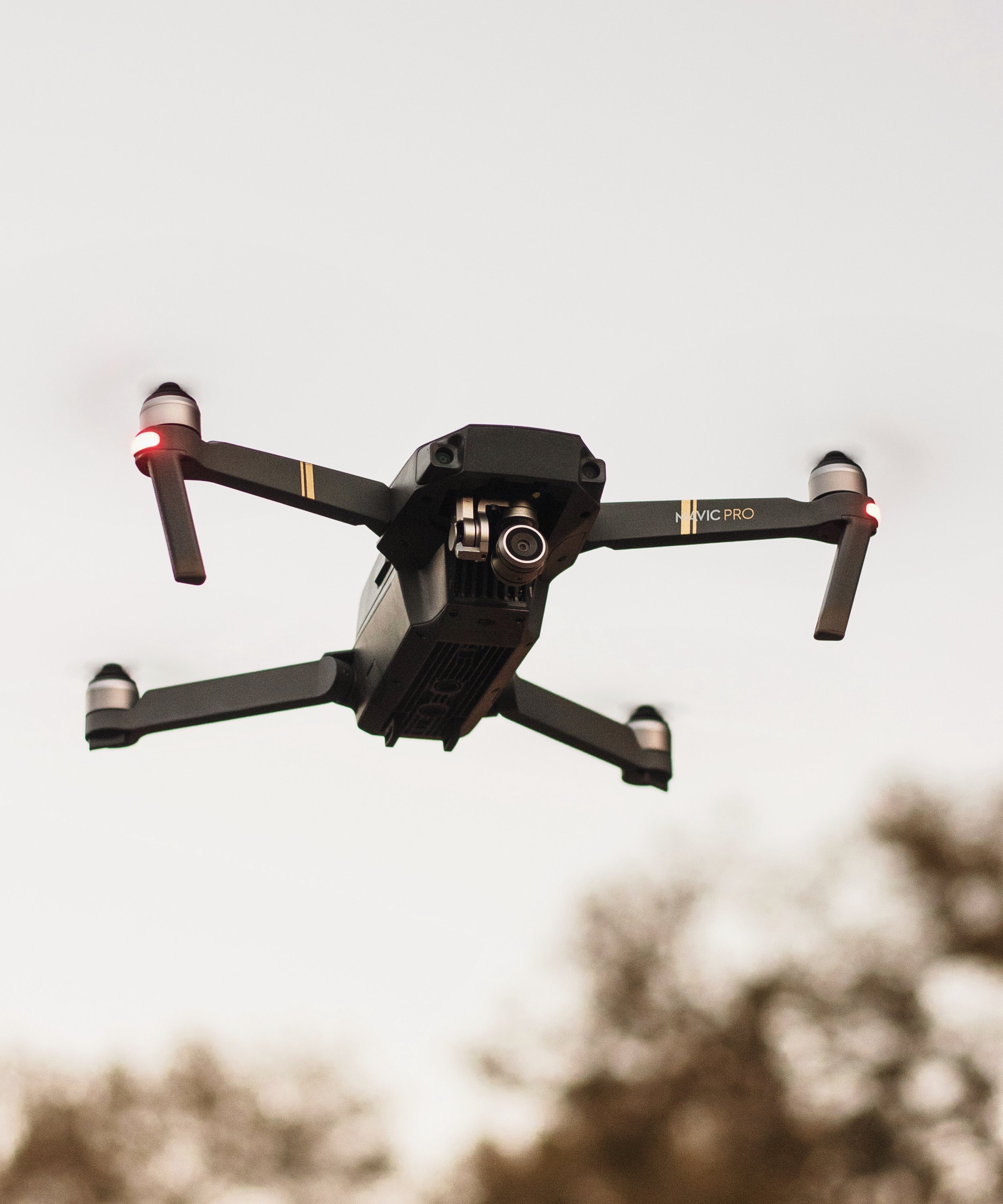
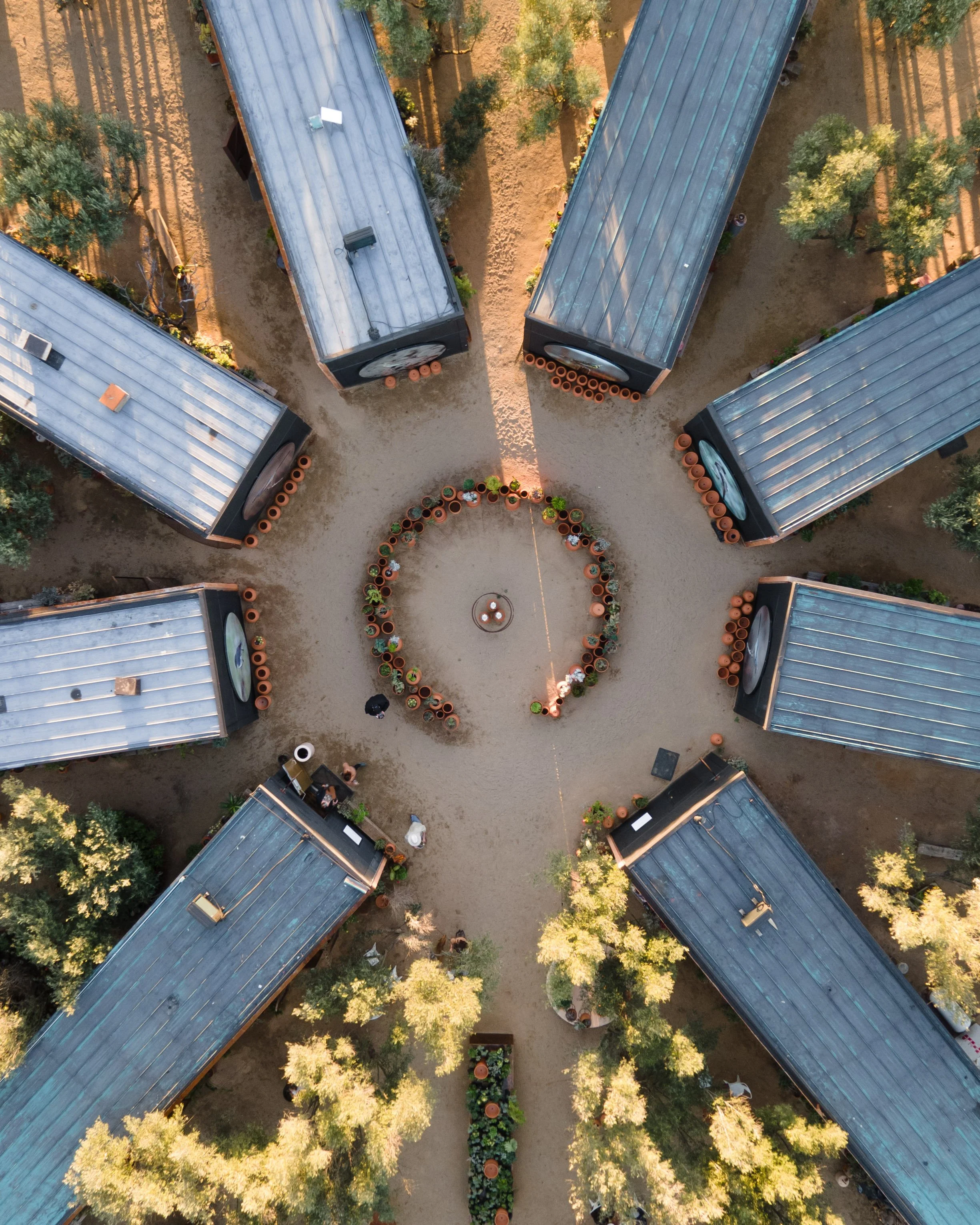
SAN DIEGO’S ONE-STOP
AERIAL IMAGING
Drone-Driven Insight.
Architect-led data, imagery and video. FAA-Certified.
-
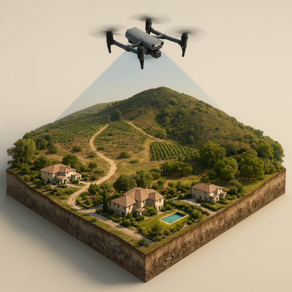
PHOTOGRAMMETRY
A compilation of drone-captured photos stitched together to provide geo-referenced 2D & 3D imagery.
-
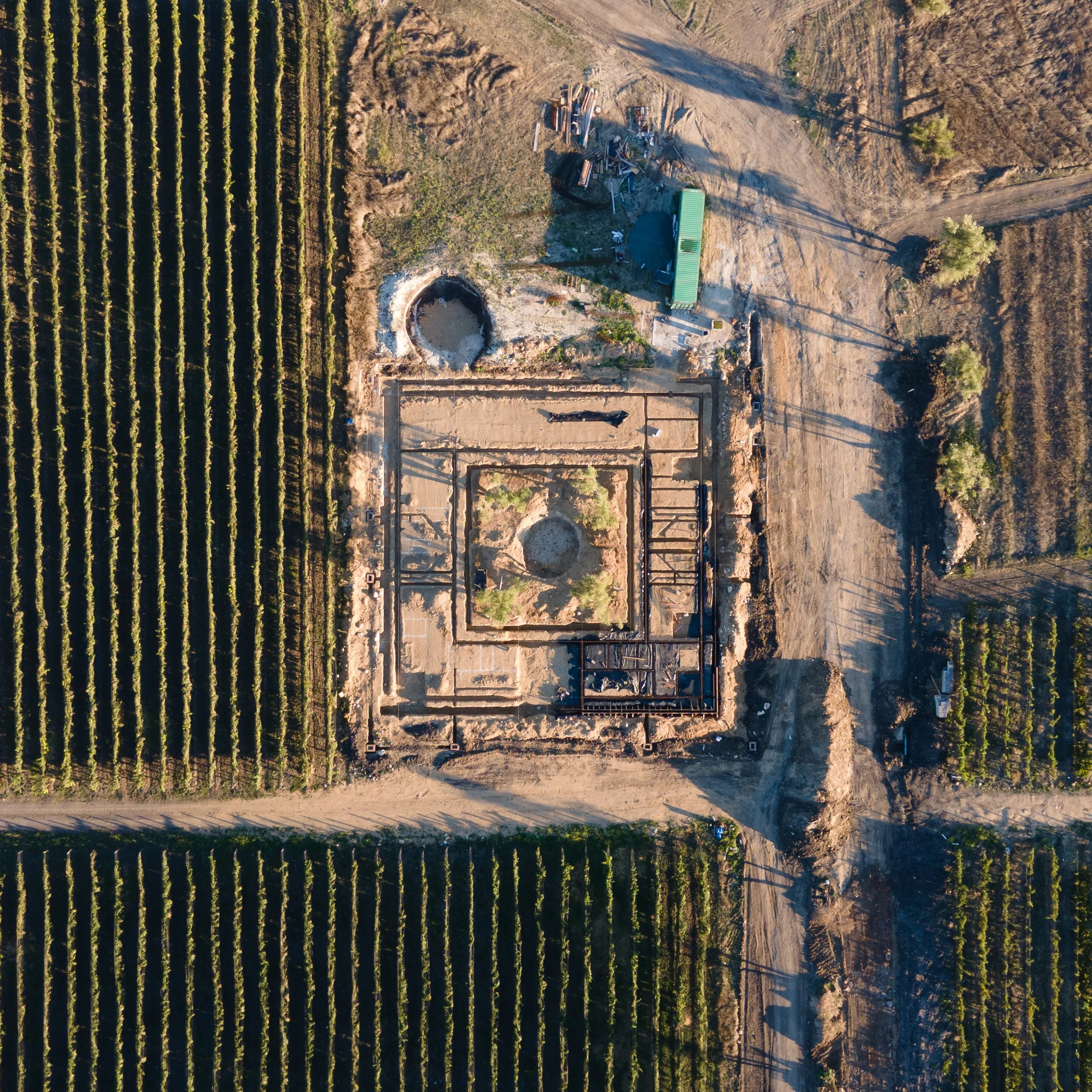
CONSTRUCTION
Progress monitoring and asset surveillance to stay on top of your next build.
-

INSPECTIONS
Construction, Agriculture, Infrastructure, Insurance Claims & more.
-
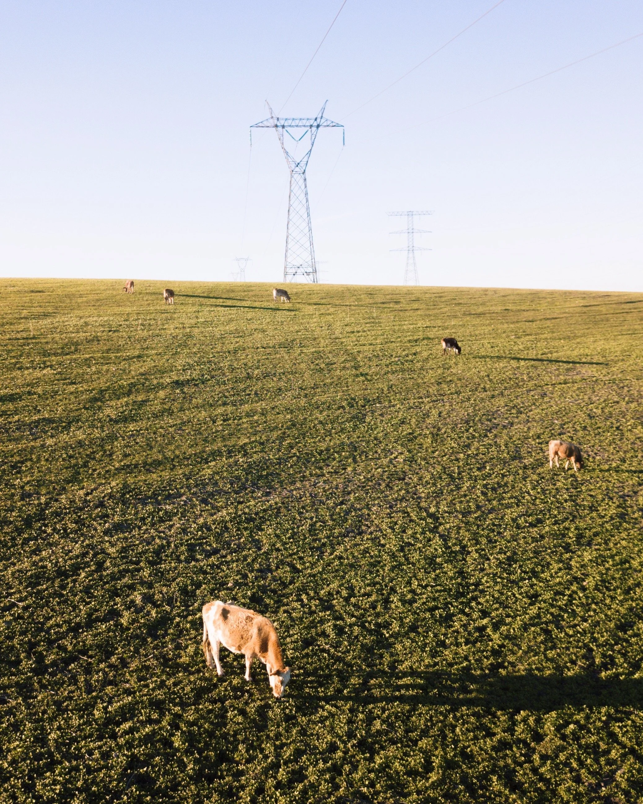
LIVESTOCK MANAGEMENT
Efficiently providing updates regarding livestock, fencing and natural conditions.
-

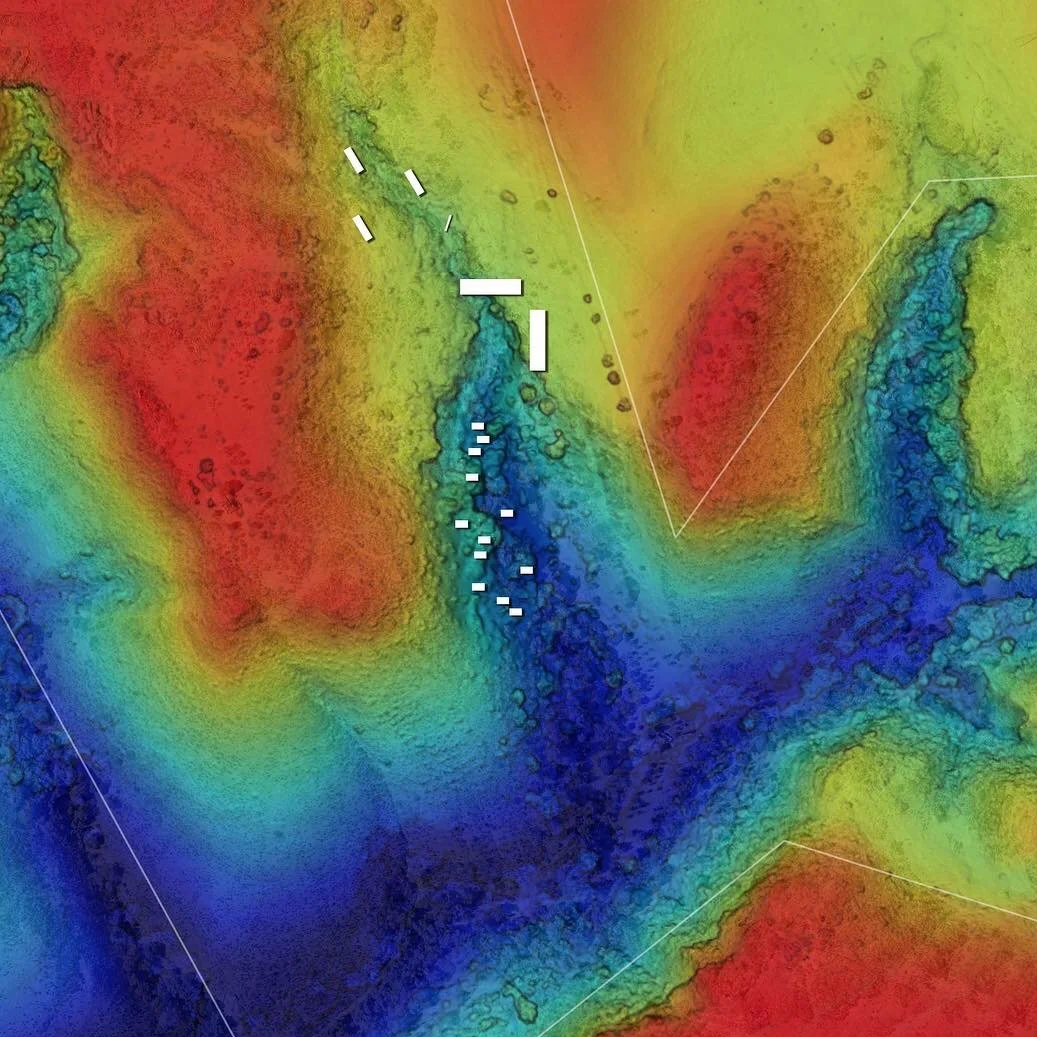
SURVEYING
Working with local expert surveyors to capture, process and interpreting contour lines.
-
REAL ESTATE SALES
Social media content designed, produced and captured to attract your target client.
-

SPECIAL EVENTS
We’ll capture the magic of your next special event, from a bird’s-eye view.
-
3D MODELS
Precise 3D Point-Cloud .OBJ files to help you study your project in the third dimension.
-

ENVIRONMENTAL
Providing environmental organizations the necessary imagery to better understand natural conditions.